Chakrata and Tiger Falls From Dehradun: Day Trip or One Night?
A quiet army hill town at about 2,100 metres, a waterfall of roughly 300 feet in the forest below it and an Ashokan inscription more than 2,000 years old on the way up. Here's how we brief guests for Chakrata: the Kalsi road, the ID rules, Tiger Falls, Deoban and an honest answer on whether to stay the night.
 Sanchit · Starfish Homestays · 29 September 2026 · 8 min read
In short
Chakrata is roughly 90 to 100 km from Dehradun via Vikasnagar and Kalsi, about 3 to 3.5 hours each way. Tiger Falls is roughly 20 km further by road, then a short, steep walk down to the pool. Indian visitors need photo ID for the cantonment checks; foreign nationals generally cannot enter without prior permission, so check before you plan. A day trip works if you leave by 6 a.m. and pick Tiger Falls only; with Deoban or Moila Top as well, stay one night.
When the Mussoorie side is jammed, the guests at our homes who ask for somewhere quieter usually end up in Chakrata. It is the opposite of a hill station: an army town with a small bazaar, deodar and oak forest on every side, and almost nothing built for tourists. That is the appeal. It is also a long way up a narrow road, so here is the whole plan, including the part about ID that catches people out.
What Chakrata is, and what it is not
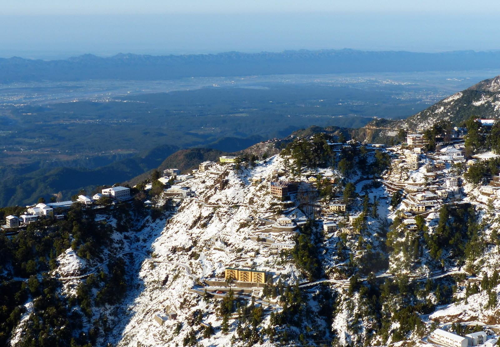
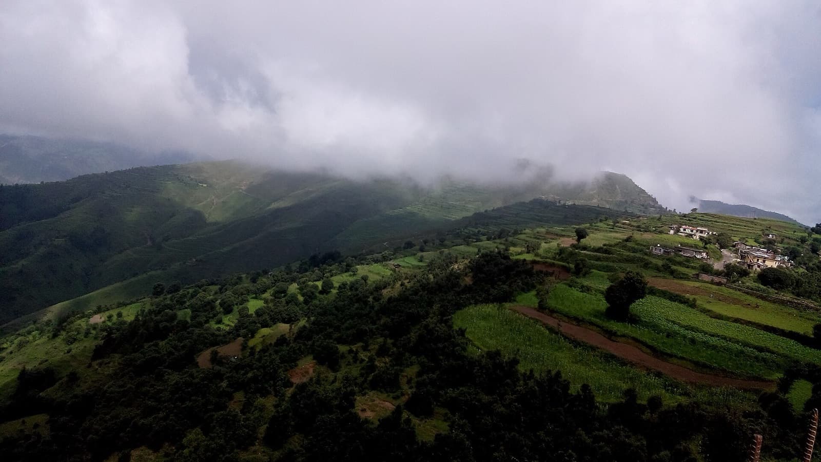
Chakrata sits at about 2,100 metres (roughly 7,000 feet), a cantonment the British set up in the 1860s on a ridge above the Yamuna and Tons valleys. It is still a working army station, which is why there are no malls, few hotels and very little traffic. Visitors come for four things: Tiger Falls in the forest below town, the deodar walks at Deoban, the high meadow at Moila Top, and the drive itself, which passes one of India's most important ancient inscriptions at Kalsi. The Uttarakhand Tourism Chakrata page and the Dehradun district page cover the basics.
ID, permits and the foreigner question
- Indian visitors: no permit is needed for the town and the usual sights, but carry government photo ID for every adult. There are checks on the way into the cantonment.
- Foreign nationals: Chakrata is a restricted cantonment, and Uttarakhand Tourism's own page says that, owing to the high-security location, it is open to Indian nationals. Some travellers report getting prior permission through the local administration, but we could not find a published procedure. If you hold a foreign passport, contact the Dehradun district administration well before your trip and assume the answer is no until you have it in writing. Kalsi and its Ashokan edict are open to all.
- Photography: keep cameras away from army buildings, vehicles and checkposts, and leave the drone at home.
Rules like these change without much notice. We check with drivers who do the run regularly and pass on the latest when you message us on WhatsApp.
The road up, via Kalsi
Chakrata is north-west of the city, the other side of the valley from Mussoorie. You leave on Chakrata Road past FRI (worth its own morning; see our FRI visitor guide), then head west through Premnagar and Selaqui to Vikasnagar.
- Dehradun to Kalsi (roughly 45 to 50 km, about 1.5 hours): flat and easy through the western Doon. Fill the tank and take cash in Vikasnagar; fuel stops thin out once you start climbing.
- Kalsi to Chakrata (roughly 35 to 45 km, 1.5 to 2 hours): the real climb, through Sahiya and up a narrow road of tight bends with little room to pass. Honk on blind corners and give way to buses and army trucks.
- Total: roughly 90 to 100 km and 3 to 3.5 hours each way in normal conditions.
Most guests hire a day cab with a driver who knows the road; our getting around Dehradun guide explains cabs and self-drive rentals. If you drive yourself, a car with decent ground clearance helps for the Tiger Falls link road and a must for Deoban.
Kalsi: Ashoka's rock edict
At Kalsi, a large boulder carries a set of Emperor Ashoka's fourteen major rock edicts, cut in the Brahmi script around the third century BCE and discovered in 1860. It is protected by the Archaeological Survey of India and sits under a protective shelter. Twenty to thirty minutes is enough, and it is easier to fit in on the way home, when you are not racing the morning.
Tiger Falls: the walk down
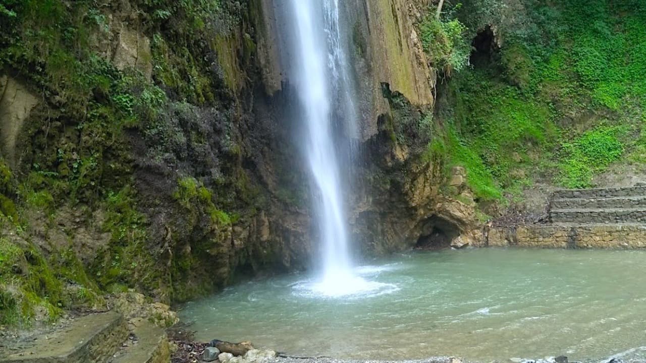
Tiger Falls (locally Kailu Pachad) drops roughly 300 feet in one leap into a rocky pool, according to Uttarakhand Tourism, which calls it one of the highest falls of its kind in India. It is at around 1,400 metres, well below Chakrata, in forest of oak and rhododendron.
- By road (the usual way): roughly 20 km from Chakrata on the Lakhamandal road, about 45 minutes to an hour, then a steep, narrow link road down to the parking. From there it is a walk of a few hundred metres to about 1 km depending on where you park, steep in places. Coming back up is the hard part; allow twice as long.
- On foot from town: an old forest path of roughly 5 km leads down from Chakrata through villages and fields. Lovely, but the climb back is long; only if you have the whole day.
- At the falls: a few tea and Maggi stalls at most, no proper restaurant. We found no official entry fee; carry small notes for parking or tea.
- Time needed: about 1.5 to 2 hours from parking to parking with time at the pool.
Best season, and the monsoon warning
Uttarakhand Tourism suggests April to June and September to November for Chakrata. For Tiger Falls, our pick is late September to November, when the falls still run strongly after the rains and the path has dried. In July and August the fall is at its fullest and the whole trip is at its riskiest: landslides on the Kalsi road, a muddy, slippery path and a pool that can rise fast. If you go then, check the IMD Dehradun forecast the night before, watch from the edge rather than getting in, and turn back if it is pouring. Our monsoon guide has safer rainy-day ideas.
Deoban: the deodar walk
Deoban is a forest of old deodar around 13 to 16 km from Chakrata, at roughly 2,800 metres, with birdlife, silence and, on clear days, a long line of snow peaks from the Vyas Shikhar viewpoint near the top. The road there is narrow and rough, so go in a high car or a local taxi and allow 45 minutes to over an hour each way. Once there, the walks through the deodar are gentle and easy to shorten. It is the best thing in Chakrata and the reason we suggest a night: add it to a Tiger Falls day and you are driving down the Kalsi road after dark.
Moila Top and Budher caves (with a night)
Further on, around Lokhandi (roughly 20 to 25 km beyond Chakrata), a forest trail climbs about 2.5 to 3 km to Moila Top, a wide grassy meadow with big views, and to the Budher caves in the forest nearby. Plan three to four hours for the walk and a morning for the drive. It is an easy to moderate hike for anyone with basic fitness, and it simply does not fit in a day from Dehradun. Our treks and nature walks guide has more walks of this kind.
Where to eat
- On the way up: dhabas around Vikasnagar, Kalsi and Sahiya do parathas, poori sabzi and chai from early morning.
- Chakrata bazaar: small, simple places serving rajma chawal, dal, thalis, Maggi and momos. Nothing fancy, and some shut early in winter.
- At Tiger Falls and Deoban: next to nothing. Take water, fruit and a packed lunch; a kitchen at your homestay makes this easy the night before.
When to go
- March to June: rhododendrons in spring, cool days when the plains are baking. The busiest time, but still quiet by Mussoorie standards.
- Late September to November: our favourite. Clear air, strong falls, snow peaks from Deoban, crisp nights.
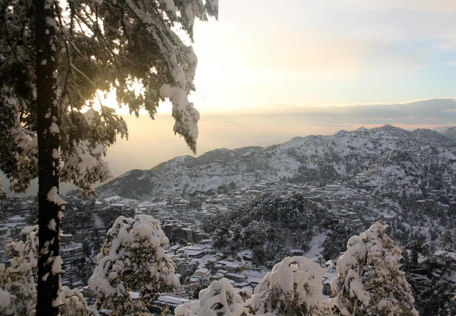
- December to February: cold, beautiful and sometimes snowbound. Snow can close the higher roads around Lokhandi and Deoban; check before you go. The winter guide explains why locals head here when Mussoorie is mobbed.
- July to mid-September: only with care, and never on a heavy-rain day.
What to pack
- Photo ID for every adult, plus a printout or screenshot if you have any permission letters.
- Shoes with grip for the falls path; sandals are a bad idea on the wet steps.
- A warm layer: Chakrata runs roughly 8 to 10 degrees colder than the valley, more at Deoban.
- Cash in small notes, water, snacks and a packed lunch.
- Motion-sickness tablets: the Kalsi to Chakrata stretch is all bends.
- A change of clothes and a towel if anyone plans to get near the spray.
- Offline maps: download them before Vikasnagar. Mobile signal is patchy after Kalsi and missing in parts of the forest.
Staying safe on the road
- Drive in daylight: plan to be below Kalsi before dark. The upper road has few barriers, few lights and the odd rockfall.
- Fuel up in Vikasnagar, and do not count on a pump once you start climbing.
- Tell someone your plan and roughly when you expect to be back in signal.
- After heavy rain, ask first: landslides on this road can hold you up for hours.
A day trip, timed
- 1.5:45: leave Dehradun with chai in a flask
- 2.6:15: out along Chakrata Road through Premnagar and Selaqui while it is empty
- 3.7:15: Vikasnagar for fuel and cash
- 4.8:15: breakfast at a dhaba around Sahiya, then the climb
- 5.9:30: Chakrata, ID check, a quick walk through the bazaar
- 6.10:00: drive out on the Lakhamandal road toward Tiger Falls
- 7.11:00: at the falls; take your time at the pool, then the slow climb back
- 8.13:30: late lunch in Chakrata
- 9.14:15: start down
- 10.16:00: Kalsi: Ashoka's edict, 20 to 30 minutes
- 11.17:30 to 18:30: back in Dehradun
With one night
Day 1: leave at 8 a.m., see the Kalsi edict while it is quiet, lunch in Chakrata, then Deoban for the afternoon and back before dark. Day 2: Tiger Falls in the morning before anyone else arrives, or Moila Top if you are keen walkers, then an early afternoon start home. Chakrata has a handful of small hotels and homestays in and around town; book ahead for weekends and long holidays.
Planning the rest of your trip
Chakrata is the long run west; the day trips from Dehradun guide and our places within 100 km cover the rest, and the Tehri Lake guide is the equivalent long day to the east. For a group sharing one cab, the 3BHK for 8 on Canal Road starts from 11,479 rupees a night (rates vary by date), and two couples fit well in the Boho 2BHK. Every home has fast Wi-Fi, AC, a full kitchen for packing the picnic, free parking, a washing machine for muddy clothes and self check-in from 3 PM. Browse all six homes, then message us with your date and we will tell you how the Kalsi road is looking.
Where to stay for this
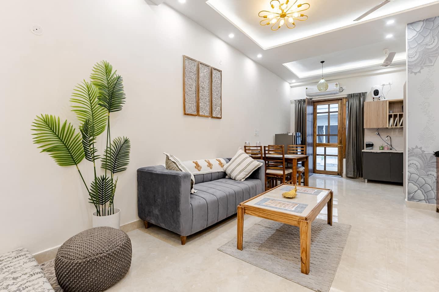
3BHK for 8
Canal Road · sleeps 8 · from ₹11,479/night
A full house with three king bedrooms, so a big group can share one cab to Chakrata and pack the picnic the night before.
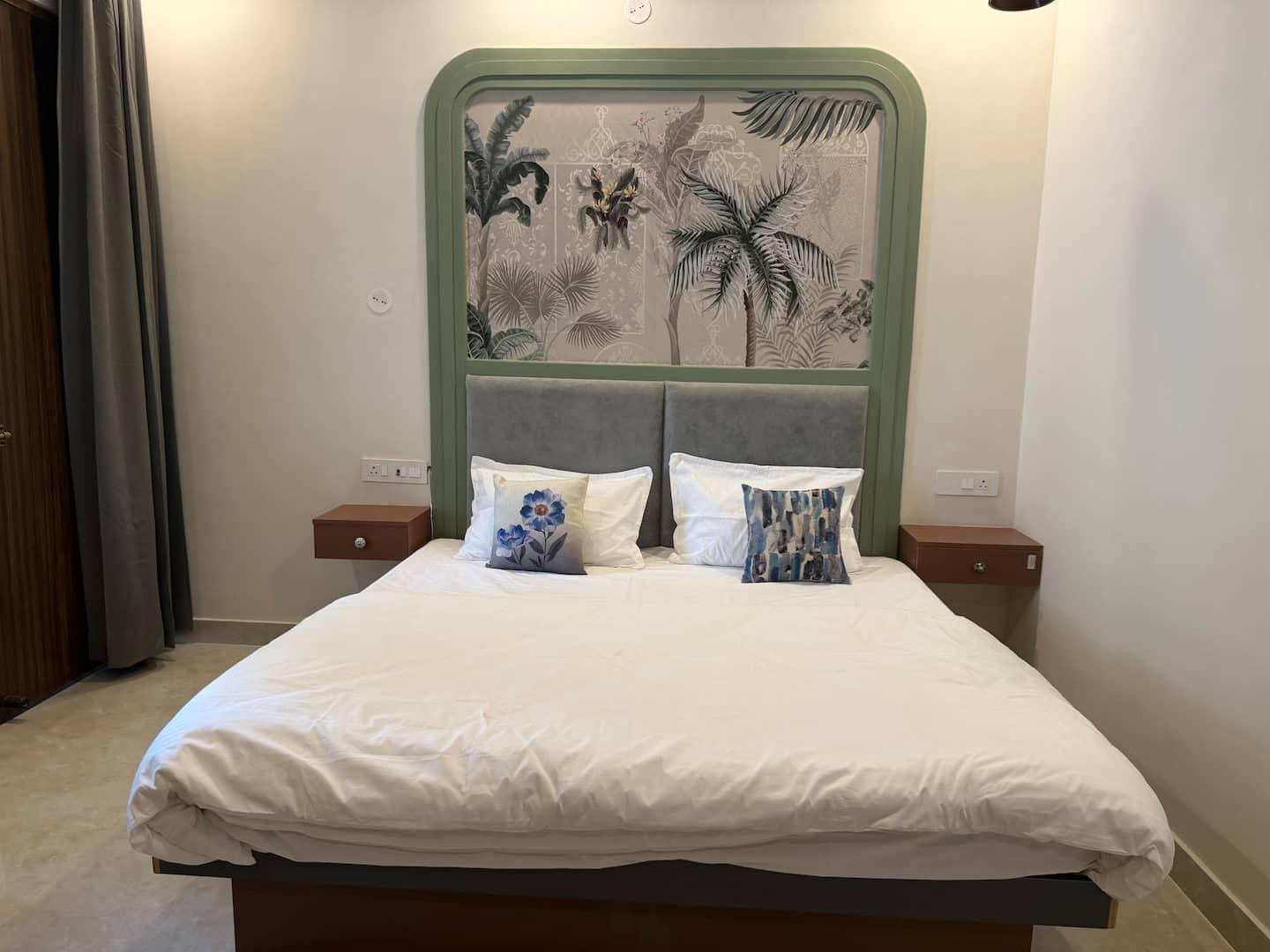
Boho 2BHK
Canal Road · sleeps 4 · from ₹5,100/night
Two ensuite king bedrooms for two couples splitting the long drive, with a kitchen for 5 a.m. chai.
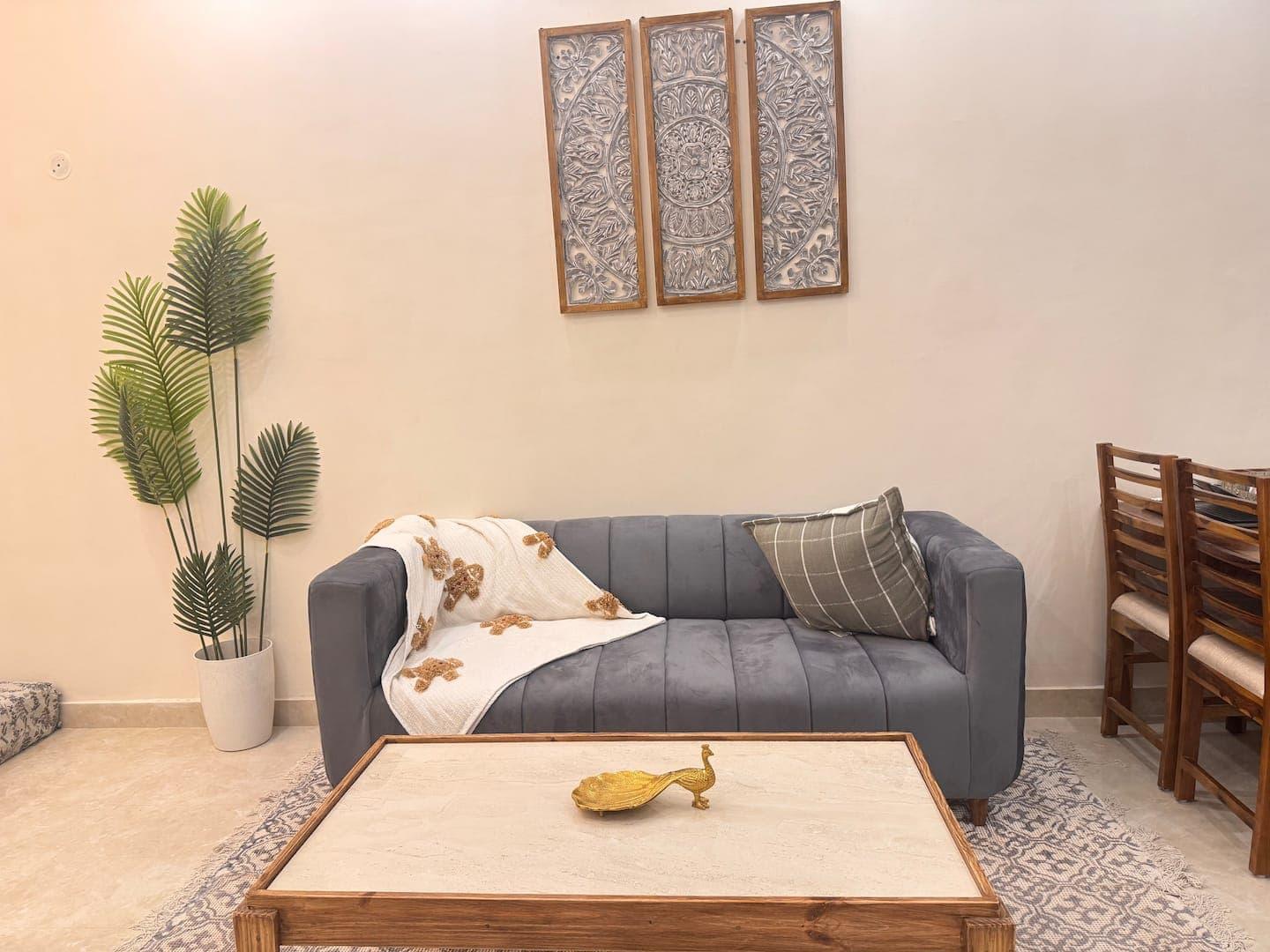
Mandala 1BHK on Canal Rd
Canal Road · sleeps 4 · from ₹4,018/night
A calm king-bed 1BHK on Canal Road for a couple who want an early night before a 6 a.m. start.
Quick answers
- How far is Chakrata from Dehradun?
- Roughly 90 to 100 km, and about 3 to 3.5 hours by car. Uttarakhand Tourism gives about 88 km and the Dehradun district site about 98 km, depending on where you measure from. The road runs west through Premnagar and Vikasnagar to Kalsi, then climbs for the last 35 to 45 km on a narrow mountain road.
- Can foreigners visit Chakrata?
- Generally not without prior permission. Chakrata is a military cantonment, and Uttarakhand Tourism's own page says that because of its high-security location it is open to Indian nationals. Some travellers report arranging permission through the local administration, but we found no published procedure, so foreign passport holders should check with the Dehradun district administration well ahead and plan as if the answer is no. Kalsi, below the cantonment, is open to all.
- Can you do Chakrata and Tiger Falls in one day from Dehradun?
- Yes, if you leave by 6 a.m. and keep it to Chakrata, Tiger Falls and the Kalsi edict on the way home. That is six to seven hours of driving, most of it on hill roads, so share the wheel or hire a day cab. Deoban, Moila Top or a relaxed pace all need one night.
Written by Sanchit, founder & host at Starfish Homestays
Sanchit lives in Dehradun and runs all six Starfish homes. Every guide in The Doon Journal comes from hosting real guests in the valley and answering their questions on WhatsApp, week after week.
Coming to Dehradun?
Stay with the people who wrote this guide: six hand-styled homestays in Dehradun across Canal Road, Rajpur Road and the Mussoorie climb.
Share this guide on WhatsApp →